|
|
|
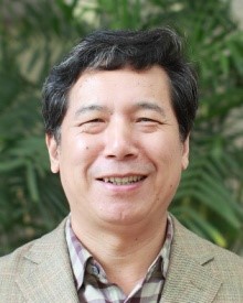 |
Liangpei Zhang Liangpei Zhang (SM'08) received the B.S. degree in physics from Hunan Normal University, ChangSha, China, in 1982, the M.S. degree in optics from the Xi'an Institute of Optics and Precision Mechanics of Chinese Academy of Sciences, Xi'an, China, in 1988, and the Ph. D. degree in photogrammetry and remote sensing from Wuhan University, Wuhan, China, in 1998. Currently, he is with the State Key Laboratory of Information Engineering in Surveying, Mapping, and Remote Sensing, Wuhan University. He is also a “Chang-Jiang Scholar” Chair Professor appointed by the Ministry of Education, China. He has more than 240 research papers and 5 patents. Currently, he is the Principal Scientist for the China State Key Basic Research Project (2011–2016) appointed by the Ministry of National Science and Technology of China to lead the remote sensing program in China. His research interests include hyperspectral remote sensing, high-resolution remote sensing, image processing, and artificial intelligence.Dr. Zhang regularly serves as a Co-Chair of the series SPIE Conferences on Multispectral Image Processing and Pattern Recognition, Conference on Asia Remote Sensing, and many other conferences. He edits several conference proceedings, issues, and the geoinformatics symposiums. He also serves as an Associate Editor of the International Journal of Ambient Computing and Intelligence, International Journal of Image and Graphics, International Journal of Digital Multimedia Broadcasting, Journal of Geo-spatial Information Science, and the Journal of Remote Sensing. He is a Fellow of the Institution of Electrical Engineers, Executive Member (Board of Governor) of the China National Committee of International Geosphere-Biosphere Programme, Executive Member for the China Society of Image and Graphics, etc. |
|
| |
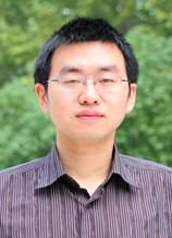 |
Yanfei Zhong Yanfei Zhong received the B.S. degree in information engineering and the Ph.D. degree in photogrammetry and remote sensing from Wuhan University, China, in 2002 and 2007, respectively. He has been with the State Key Laboratory of Information Engineering in Surveying, Mapping and Remote Sensing, Wuhan University since 2007 and is currently a full Professor. His research interests include multi- and hyperspectral remote sensing data processing, high resolution image processing and scene analysis, and computational intelligence. He has published more than 80 research papers, including more than 40 peer-reviewed articles in international journals such as IEEE Transactions on Geoscience and Remote Sensing and IEEE Transactions on Systems, Man and Cybernetics Part B, and Pattern Recognition. He was elevated as IEEE Senior Member (2015), and was the recipient of the National Excellent Doctoral Dissertation Award of China (2009)and New Century Excellent Talents in University of China (2009). He was a Referee of more than 20 journals including IEEE Transactions on Cybernetics, IEEE Transactions on Geoscience and Remote Sensing, IEEE Journal of Selected Topics in Applied Earth Observations and Remote Sensing, IEEE Geoscience and Remote Sensing Letters, and Pattern Recognition. He is serving as an Associate Editor of IEEE Journal of Selected Topics in Applied Earth Observations and Remote Sensing, and International Journal of Remote Sensing. |
|
| |
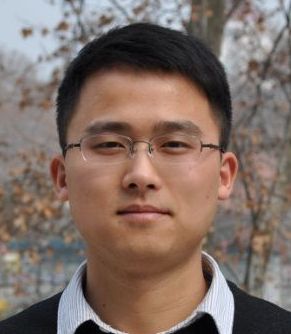 |
Hongzan Jiao Hongzan Jiao is with the school of urban design of Wuhan University and currently a associate professor and master supervisor. His research interest is the theory and application of remote sensing in architecture and urban-rural planning, including refined urban surface material mapping, information extraction of urban buildings and structures, detailed classification of urban surface based on multi-source remote sensed data and spatial-temporal feature perception based on big data mining. He has published 15 research papers, including 6 SCI papers, 3 EI papers. He holds the post of referee of many domestic and international journals and international conferences, such as IEEE TGRS/JSTARS/GRSL, IJRS, IJGIS, Acta Geodaetica et Cartographica Sinica, Journal of Remote Sensing, IGARSS, WHISPERS, etc. He won the third prize of the supervisor of the second term city open data innovation contest. |
|
| |
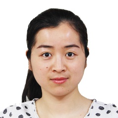 |
Ruyi Feng Ruyi Feng is with the computer school of China University of Geosciences(Wuhan) and currently a associate professor and master supervisor. Her main research interest is the intelligent processing of remote sensing imagery, including information extraction of subpixel of hyperspectral remote sensing imagery, classification of high-resolution remote sensing imagery. She has published 8 SCI papers, and 6 EI conference papers. She supported a number of national funds. She holds the post of referee of journals such as IEEE Transactionas on Geoscience and Remote Sensing、IEEE Journal of Selected Topics in Applied Earth Observations and Remote Sensing, ISPRS Journal of Photogrammetry and Remote Sensing, etc. |
|
| |
 |
Ji Zhao China University of Geosciences (Wuhan) Computer College special associate professor, master tutor. Mainly engaged in high-resolution remote sensing image processing, probability map model and other pattern recognition and machine learning methods and remote sensing image geography applications and other aspects of research work. Published more than ten papers in SCI / EI papers, as the research backbone to participate in the national key basic research and development plan (973) subject, the National Natural Science Foundation, the National Development and Reform Commission project and other research projects. As a reviewer of IEEE Transactions on Geoscience and Remote Sensing, IEEE Journal of Selected Topics in Applied Earth Observations and Remote Sensing (JSTARS), International Journal of Remote Sensing and other international SCI journals. |
|
| |
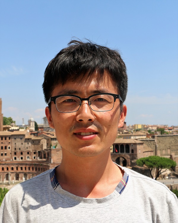 |
Ailong Ma Postdoctoral in the State Key Laboratory of Information Engineering in Surveying, Mapping and Remote Sensing of Wuhan University ,graduated from Wuhan University in 2017 and received his Ph.D. degree in photogrammetry and remote sensing, mainly studies evolutionary theory and its remote sensing application, including remote sensing image monitoring, semi-supervised classification, clustering, multi-objective optimization, template optimization algorithm, artificial DNA calculation, and so on。In the IEEE Transactions on Geoscience and Remote Sensing, Remote Sensing and other remote sensing image processing authority published journals SCI / EI papers 10. As the research backbone to participate in the national key basic research and development plan (973) project, the National Natural Science Foundation of outstanding youth fund, military equipment forefront of scientific and technological innovation and other research projects. As a consultant for IEEE Journal of Selected Topics in Applied Earth Observations and Remote Sensing, IEEE Geoscience and Remote Sensing Letter and Soft Computing, etc. in the field of remote sensing and computational intelligence in international SCI journals. |
|
| |
|
 |
Lifei Wei Lifei Wei received the the Ph.D. degree in photogrammetry and remote sensing from Wuhan University, China, in 2011. He is currently a vice and master supervisor of Faculty of Resources and Environmental Science Hubei University. His research interests include intelligent processing of hyperspectral remote sensing imagery, agricultural remote sensing application and ecological remote sensing. He has published more than 20 research papers in the famous academic journals/conferences of remote sensing and related fields, including 16 SCI/EI papers, and invited to be a special Referee of several academic. He is the Project Leader and participated in the National Natural Science Foundation of China (NSFC), Postdoctoral Foundation of China, Natural Science Foundation of HuBei Province and etc. Also he is the study backbone to participate in National Basic Research Program of China (973 Program), National High Technology Research and Development Program of China (863 Program) as follows.He has obtained the Italian agricultural remote sensing expert certificate. |
|
| |
|
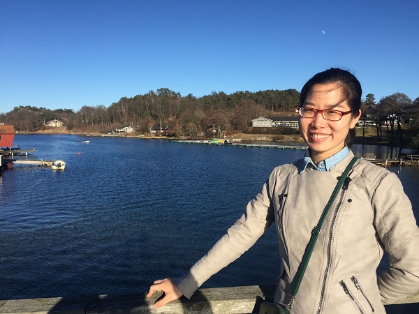 |
Liqin Cao Liqin Cao received the the Ph.D. degree in photogrammetry and remote sensing from Wuhan University, China, in 2009. She is currently a teacher of School of Printing and Packaging, Wuhan University. She is mainly engaged in urban environmental remote sensing, and her research interests include surface temperature inversion, urban heat island, urban opaque water and etc. She has published more than 10 SCI/EI papers and authored one book. She is the Project Leader and participated in the National Natural Science Foundation of China (NSFC), Central University Research Foundation, Crossing Research Project and etc. Also she is the study backbone to participate in National key research and development plan, National Basic Research Program of China (973 Program), National High Technology Research and Development Program of China (863 Program) , Hubei Excellent Youth Foundation as follows. Besides she is invited to be a special Referee of several academic journals, such as International Journal of Remote Sensing and Remote Sensing Letter. |
|
| |
|
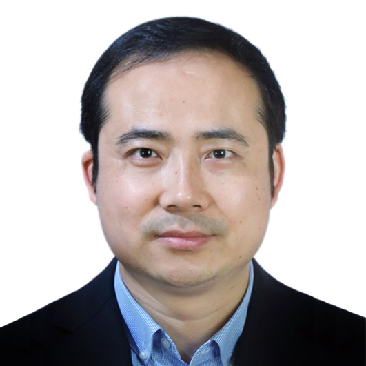 |
Junlei Song Junlei Song is a vice professor and master supervisor of School of Automation, China University of Geosciences. As the deputy director of Measurement and Control Technology and Instrument Department , he is mainly engaged in the research of precision instruments, measurement and control technology and automation equipment. He has published 16 research papers in the famous academic journals/ conferences , including 8 EI papers. Besides, he successfully applied for 5 national invention patents, and 7 software copyrights. He leaded or participated in 2 projects of National Natural Science Foundation of China (NSFC), 3 projects of National Natural Science Foundation of Hubei Province, Science and Technology Support Project of Hubei Province, Department of Education Science and Technology Research Project of Hubei Provincial, the Central University of Special Funds Outstanding Young Teachers Fund project, Hubei Province Spectrum and Imaging Instrument Engineering Research Center Open Fund Project, Enterprise Technology Research Project and etc. He has been awarded Shuangchuang talents in Jiangsu Province, Yangzhou Jinyang Jinfeng outstanding doctor and outstanding professor of innovation and entrepreneurship of China University of Geosciences. |
|
|

